en
|
it
Menu -
Navigation
Home
About Us
Services
Geological Consulting
Drone Surveys: UAV Systems
Drone Surveys: AUV Systems
Remote Sensing and GIS Analysis
Activities
Contact
Activities
Page 1/2
All
Partnerships
Portfolio
Scientific Papers
Research Projects
Participation in Congresses
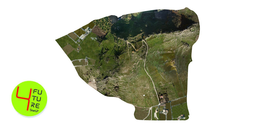
Drone survey and DTM reconstruction of the Archaeological Park of Monte Saraceno (AG)- Sicily
Portfolio
Consulenza GIS a supporto dell’attività di rendicontazione in forma elettronica del Piano di Gestione del Distretto Idrografico attraverso il nodo nazionale SINTAI (WISE)
Portfolio
UAV and AUV survey in Santa Croce Camerina (Rg) supporting analyses and monitoring of posidonia Oceanica
Portfolio
GIS consulting for Urban Development Plan of Pedara (Ct)
Portfolio
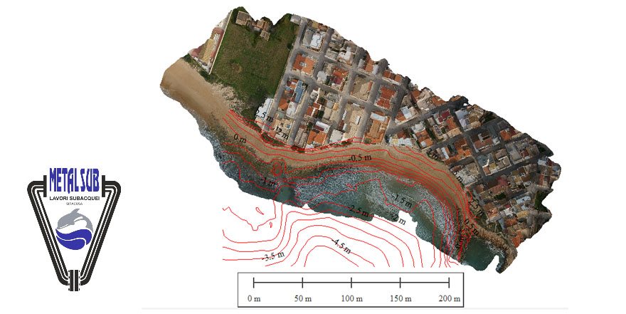
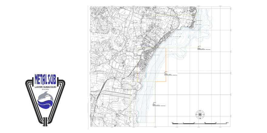
Drone survey (UAV/AUV) supporting project of mitigation of coastal erosion along Avola (Sr) shoreline
Portfolio
Drone Survey of a landslide located in Letojanni (Me)
Portfolio
SBES bathymetric survey of the tiny offshore of Noto (Sr), supporting project of coastal erosion mitigation
Portfolio
Analisi geologica, geomorfologica e geotecnica del sito archeologico dell’antica Caulonia (RC), finalizzata alla progettazione delle opere di difesa del sito dall'erosione costiera.
Portfolio
«
‹
1
2
›
»